File:Map of the North Sea, American Farm Bureau Federation European tour, 1927.jpg
From The Infomercantile
Jump to navigationJump to search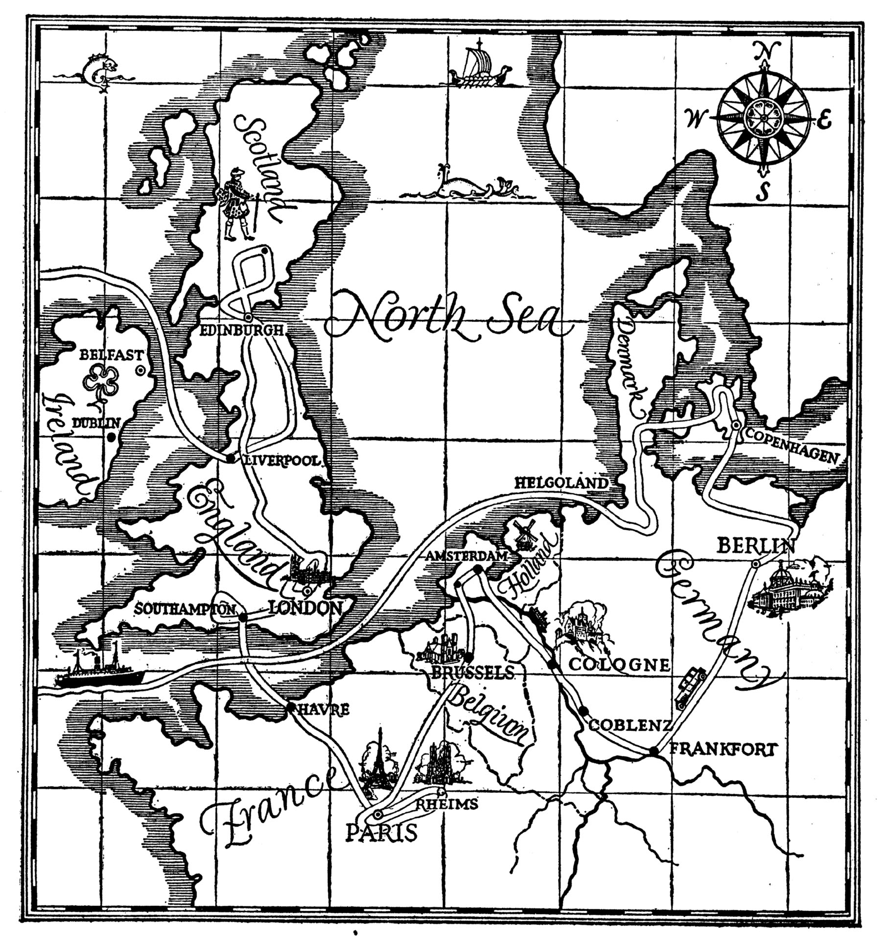
Size of this preview: 558 × 600 pixels. Other resolutions: 223 × 240 pixels | 1,800 × 1,935 pixels.
Original file (1,800 × 1,935 pixels, file size: 687 KB, MIME type: image/jpeg)
Map of the North Sea region, describing the route of the American Farm Bureau European investigational tour, undertaken in the mid 1920s, to examine European farming practices.
File history
Click on a date/time to view the file as it appeared at that time.
| Date/Time | Thumbnail | Dimensions | User | Comment | |
|---|---|---|---|---|---|
| current | 02:53, 27 April 2009 | | 1,800 × 1,935 (687 KB) | AzraelBrown (talk | contribs) | Map of the North Sea region, describing the route of the American Farm Bureau European investigational tour, undertaken in the mid 1920s, to examine European farming practices. |
You cannot overwrite this file.
File usage
There are no pages that use this file.