File:Pre-Interstate Map Of US Routes and Highways, 1955.jpg
From The Infomercantile
Jump to navigationJump to search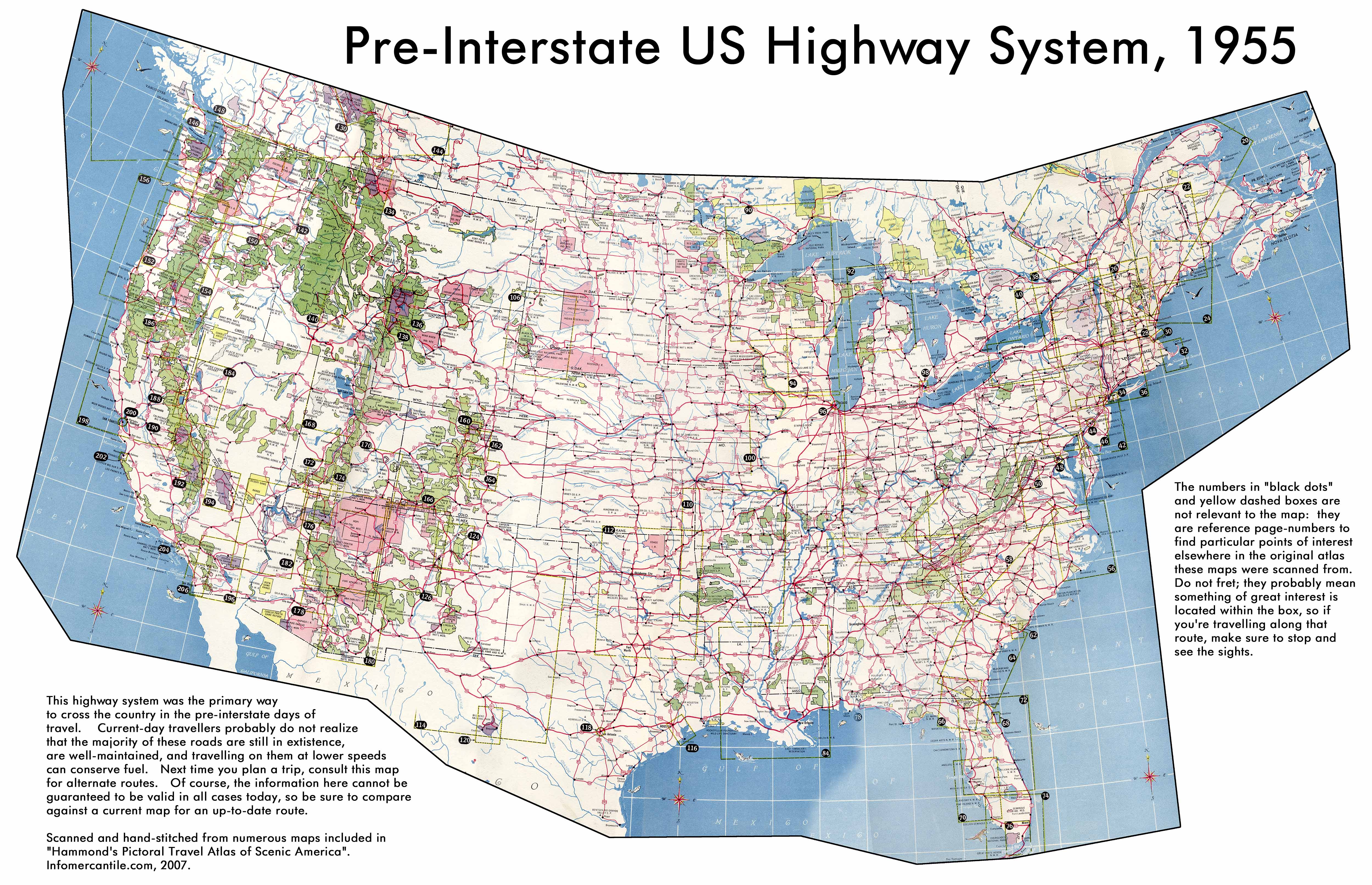
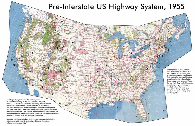
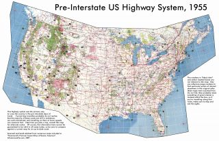
Size of this preview: 800 × 516 pixels. Other resolutions: 320 × 206 pixels | 5,000 × 3,225 pixels.
Original file (5,000 × 3,225 pixels, file size: 2.4 MB, MIME type: image/jpeg)
This collage map shows the pre-Interstate routes for crossing the United States, compiled and stitched from numerous nicely uniform maps found in "Hammond's Pictoral Travel Atlas of Scenic America," published in 1955. The majority of these roads still exist as part of the National Highway System.
File history
Click on a date/time to view the file as it appeared at that time.
| Date/Time | Thumbnail | Dimensions | User | Comment | |
|---|---|---|---|---|---|
| current | 20:02, 26 May 2007 | | 5,000 × 3,225 (2.4 MB) | AzraelBrown (talk | contribs) | This collage map shows the pre-Interstate routes for crossing the United States, compiled and stitched from numerous nicely uniform maps found in "Hammond's Pictoral Travel Atlas of Scenic America," published in 1955. The majority of these roads still ex |
You cannot overwrite this file.
File usage
The following page uses this file: