File:Map-Of-The-United-States-Circa-1890s.jpg
From The Infomercantile
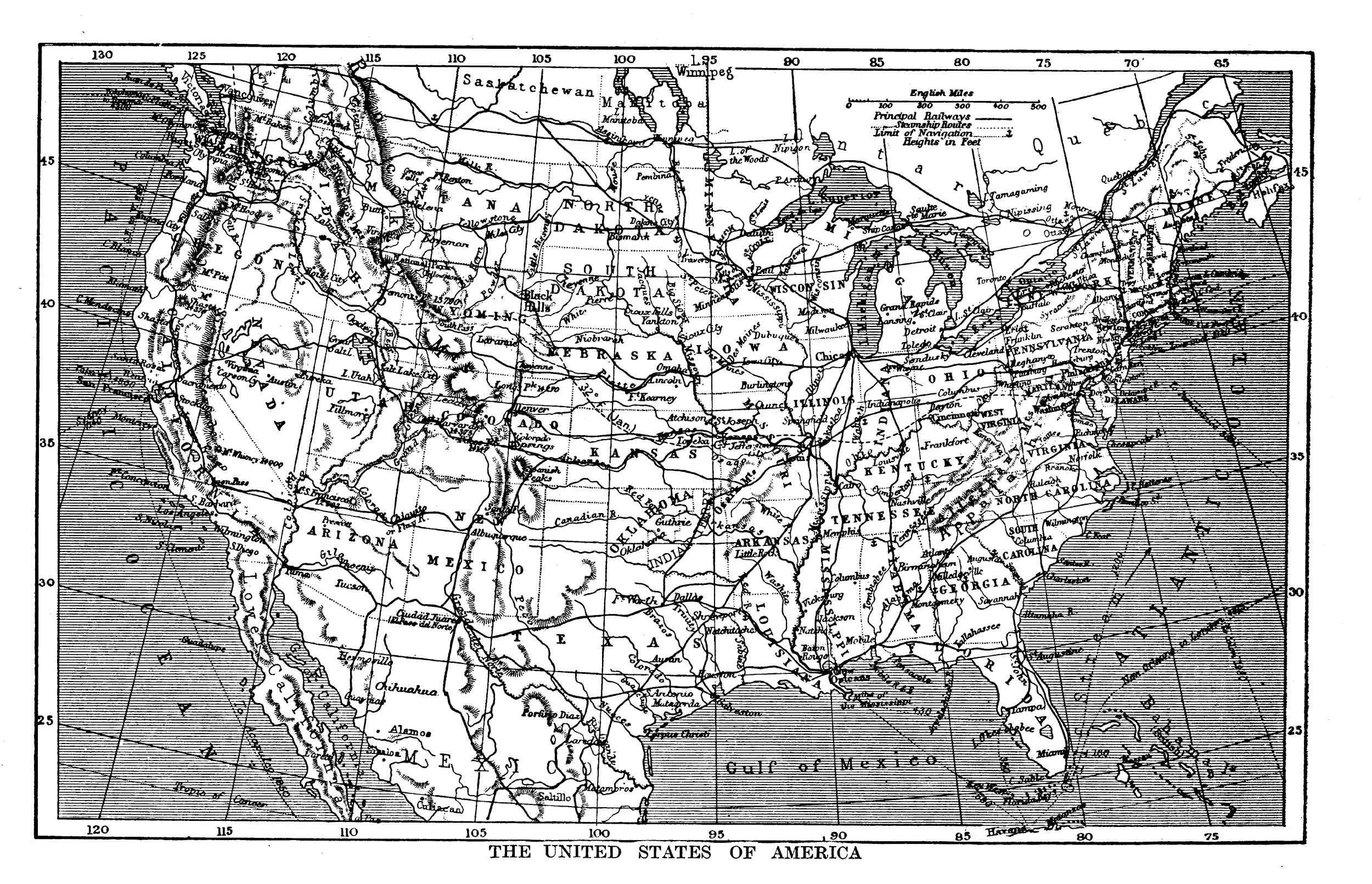
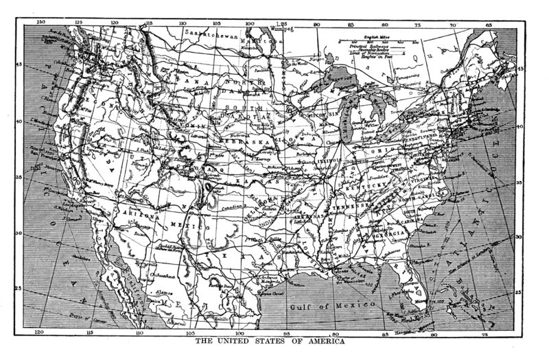
Revision as of 20:07, 18 March 2009 by AzraelBrown (talk | contribs) (A map of the United States, circa 1890s, from The Harmsworth Self-Educator. Some elements on the map appear older than the period, but the inclusion of "Indian Territory" in Oklahoma fixes the time period for firmly in the 1890s.)
Size of this preview: 800 × 516 pixels. Other resolutions: 320 × 206 pixels | 2,500 × 1,611 pixels.
Original file (2,500 × 1,611 pixels, file size: 1.54 MB, MIME type: image/jpeg)
A map of the United States, circa 1890s, from The Harmsworth Self-Educator. Some elements on the map appear older than the period, but the inclusion of "Indian Territory" in Oklahoma fixes the time period for firmly in the 1890s.
File history
Click on a date/time to view the file as it appeared at that time.
| Date/Time | Thumbnail | Dimensions | User | Comment | |
|---|---|---|---|---|---|
| current | 20:07, 18 March 2009 | | 2,500 × 1,611 (1.54 MB) | AzraelBrown (talk | contribs) | A map of the United States, circa 1890s, from The Harmsworth Self-Educator. Some elements on the map appear older than the period, but the inclusion of "Indian Territory" in Oklahoma fixes the time period for firmly in the 1890s. |
You cannot overwrite this file.
File usage
There are no pages that use this file.