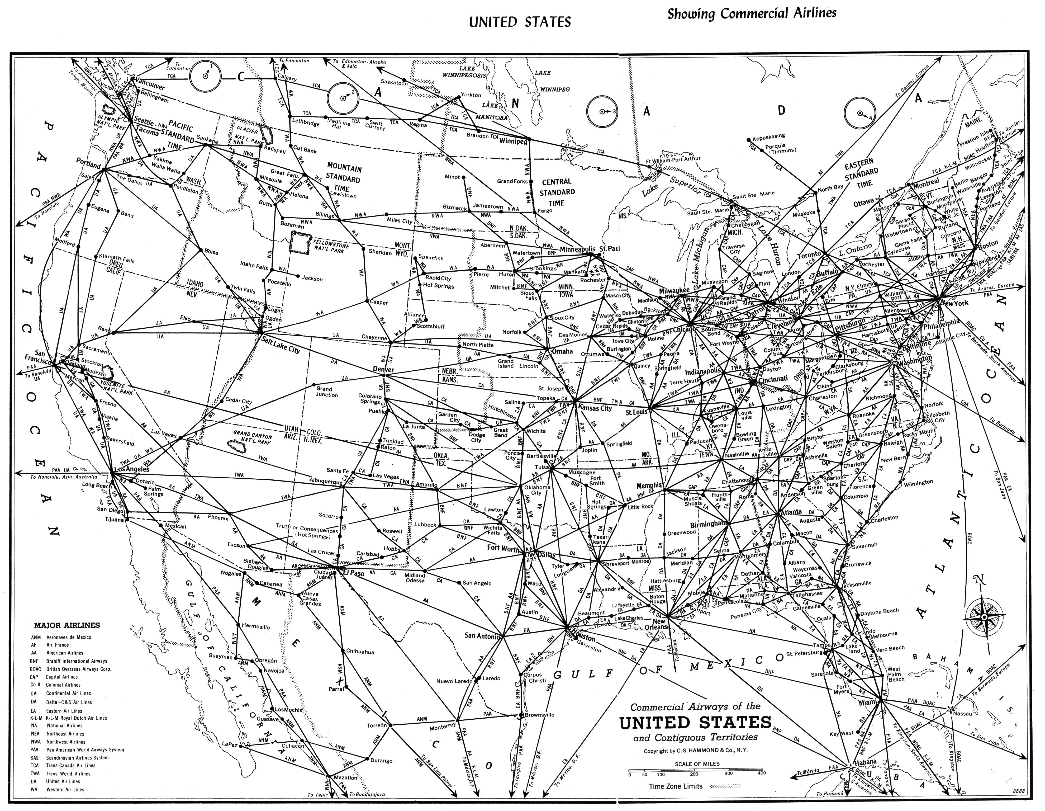
File:Map of US Airlines, 1955.jpg
From The Infomercantile
Revision as of 21:54, 26 May 2007 by AzraelBrown (talk | contribs) (Map of US airline routes, scanned from "Hammond's Pictorial Travel Atlas of Scenic America".)
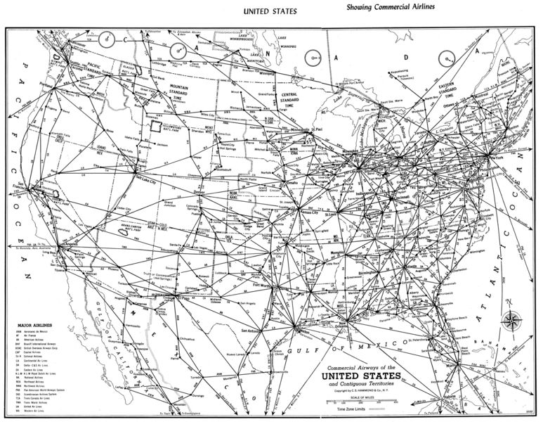
Size of this preview: 773 × 600 pixels. Other resolutions: 310 × 240 pixels | 3,960 × 3,072 pixels.
Original file (3,960 × 3,072 pixels, file size: 1.75 MB, MIME type: image/jpeg)
Map of US airline routes, scanned from "Hammond's Pictorial Travel Atlas of Scenic America".
File history
Click on a date/time to view the file as it appeared at that time.
| Date/Time | Thumbnail | Dimensions | User | Comment | |
|---|---|---|---|---|---|
| current | 21:54, 26 May 2007 | | 3,960 × 3,072 (1.75 MB) | AzraelBrown (talk | contribs) | Map of US airline routes, scanned from "Hammond's Pictorial Travel Atlas of Scenic America". |
You cannot overwrite this file.
File usage
There are no pages that use this file.