Difference between revisions of "File:Flooded Polk Street, Grand Forks, ND, 1950.jpg"
From The Infomercantile
Jump to navigationJump to searchAzraelBrown (talk | contribs) (The street sign reads, "Polk Street", part of Grand Forks that no longer exists due to flood protection preparations. In 1950, this was a flood-prone area.) |
AzraelBrown (talk | contribs) |
||
| Line 1: | Line 1: | ||
| − | The street sign reads, "Polk Street", part of Grand Forks | + | The street sign reads, "Polk Street", part of the Grand Forks area known as the Lincoln Drive Neighborhood, which was razed after the 1997 flood. In 1950, this area flooded as well. |
Latest revision as of 03:02, 19 April 2009
The street sign reads, "Polk Street", part of the Grand Forks area known as the Lincoln Drive Neighborhood, which was razed after the 1997 flood. In 1950, this area flooded as well.
File history
Click on a date/time to view the file as it appeared at that time.
| Date/Time | Thumbnail | Dimensions | User | Comment | |
|---|---|---|---|---|---|
| current | 02:58, 19 April 2009 | 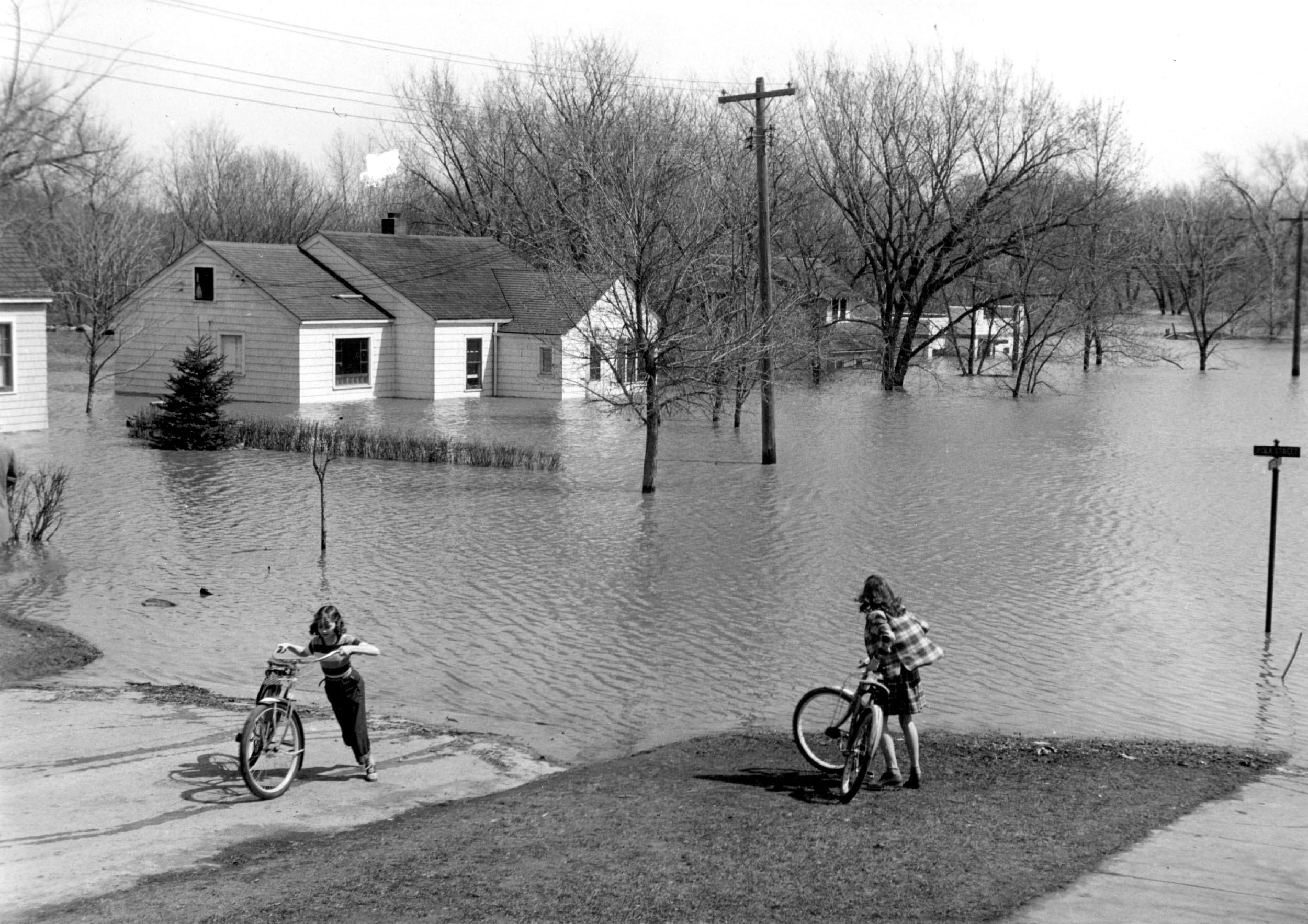 | 2,500 × 1,767 (592 KB) | AzraelBrown (talk | contribs) | The street sign reads, "Polk Street", part of Grand Forks that no longer exists due to flood protection preparations. In 1950, this was a flood-prone area. |
You cannot overwrite this file.
File usage
The following page uses this file: