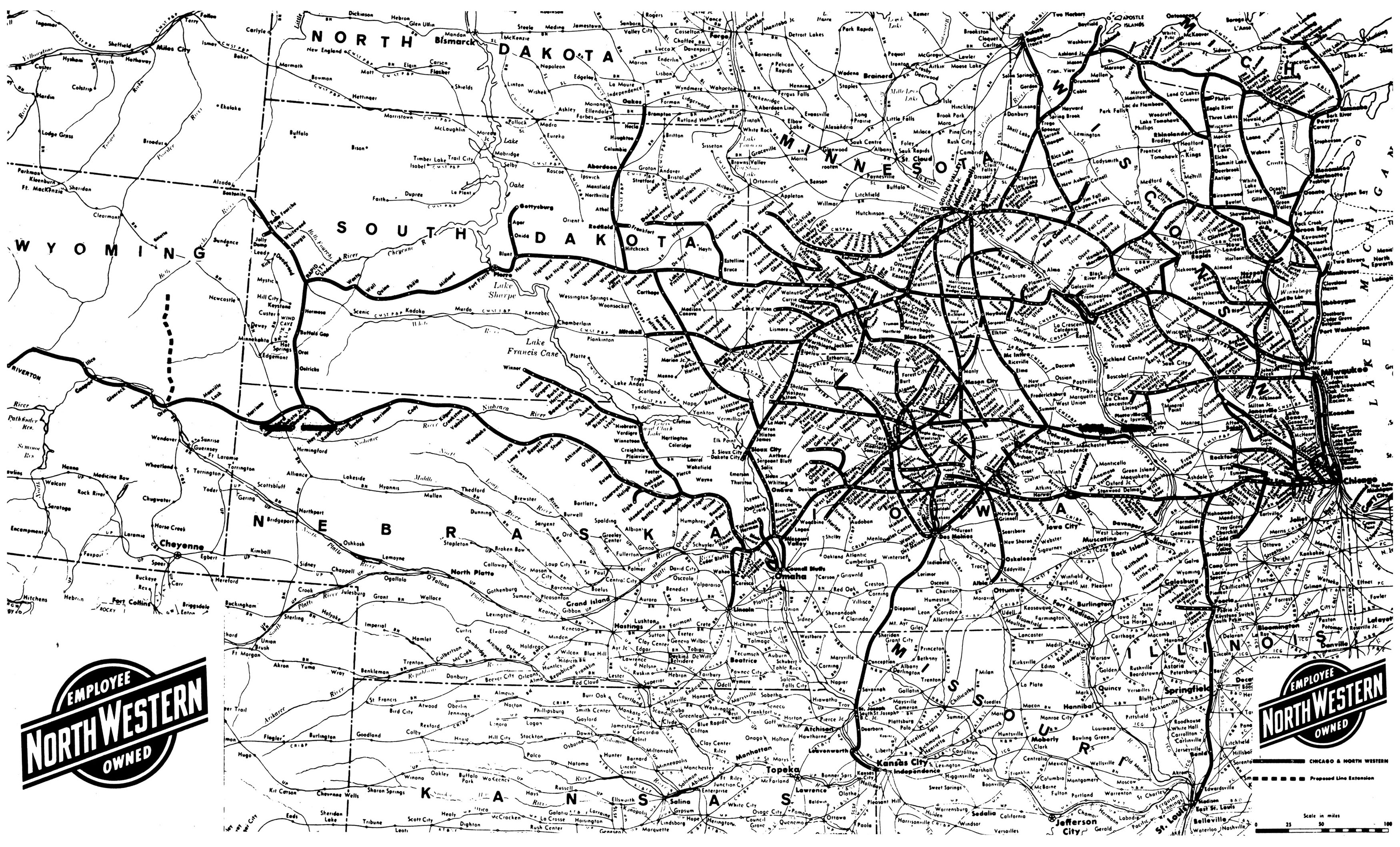
Map of the towns serviced and tracks used by the Chicago and Northwestern Railroad, effective as of 1 August 1977. Scanned from a small centerfold in the railroad’s timetable booklet.
Map of the towns serviced and tracks used by the Chicago and Northwestern Railroad, effective as of 1 August 1977. Scanned from a small centerfold in the railroad’s timetable booklet.